Home
About
Video
Technical
Why Us?
Contact

Download
Start


Dekstop Version
- Support file : obj, fbx, dxf, IFC, dae, 3ds,3d, ac, acc, amj, 3mf, ac3d, amf, ase, ask, b3d, bvh, cob, enff, irr, irrmesh, lwo, lws, lxo, md2, md3, md5, mdc, mdl, mesh, mot, ms3d, ndo, nff, off, ogex, ply, pmx, prj, q3o, q3s, raw, scn, sib, smd, stl, ter, uc, vta, x3d, xgl, zgl, zip
- File yg sudah didownload langsung di load dari local
- Size 3d yg bisa diupload besar
Download
Web Version
- Support file : FBX, OBJ, GLTF2, STL, PLY, 3MF, and ZIP
- Tidak perlu download ,install, atau update aplikasi. Langsung dibuka dari WEB
- Size 3d disarankan kurang dari 20 MB dan di ZIP
Start
The Best Choice of Augmented Reality for BIM and GIS
About XRGIS
XRGIS is a platform to visualize and transform raw data in BIM and GIS fields into an Augmented Reality (AR) visual. This platform is compatible to
aggregate around 35 traditional data types from multiple sources to become a unified AR view. Such as file from Autodesk AutoCAD, SketchUp,
Minescape, Surpac, etc. XRGIS can also link directly into your data source through the vendor-provided APIs to establish real-time connectivity that
doesn’t require any manual work.
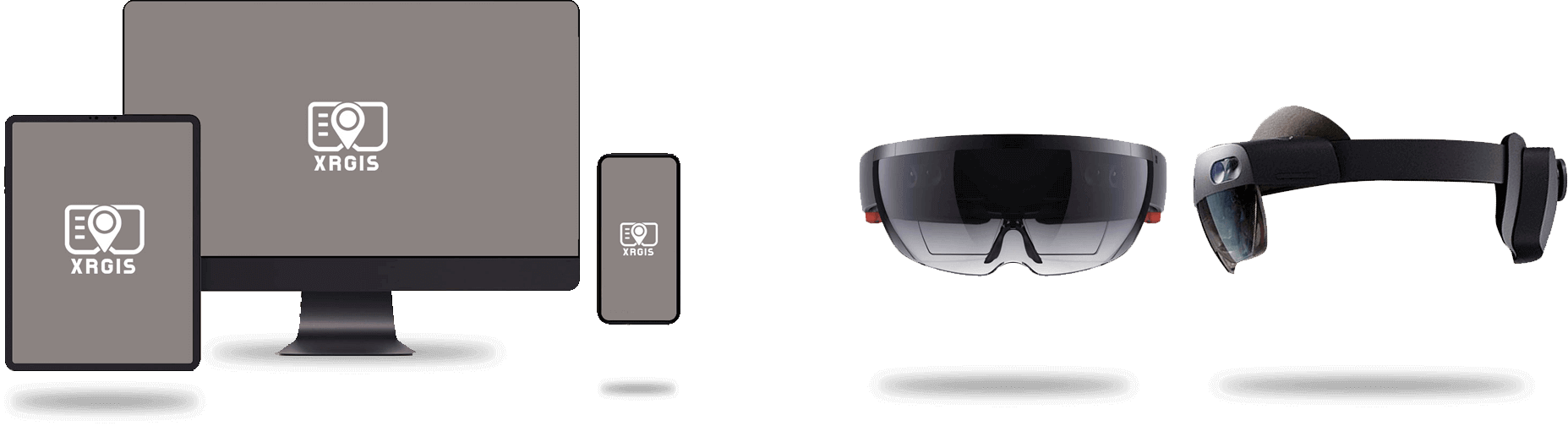
XRGIS can run on any suitable device, including Android and iOS phones and tablets, Google Virtual Reality, Hololens Oculus, which allows you to select the optimal tools for the job.
XRGIS is designed for users the best of both worlds: survey-grade accuracy and the ability to use the system on consumer-grade devices without any additional hardware. The system comes with multiple calibration methods that allow indoor and outdoor positioning.